The county
Around Pocahontas County
Nine hundred and forty square miles, fewer than eight thousand people, and a federal zone where radio is restricted.
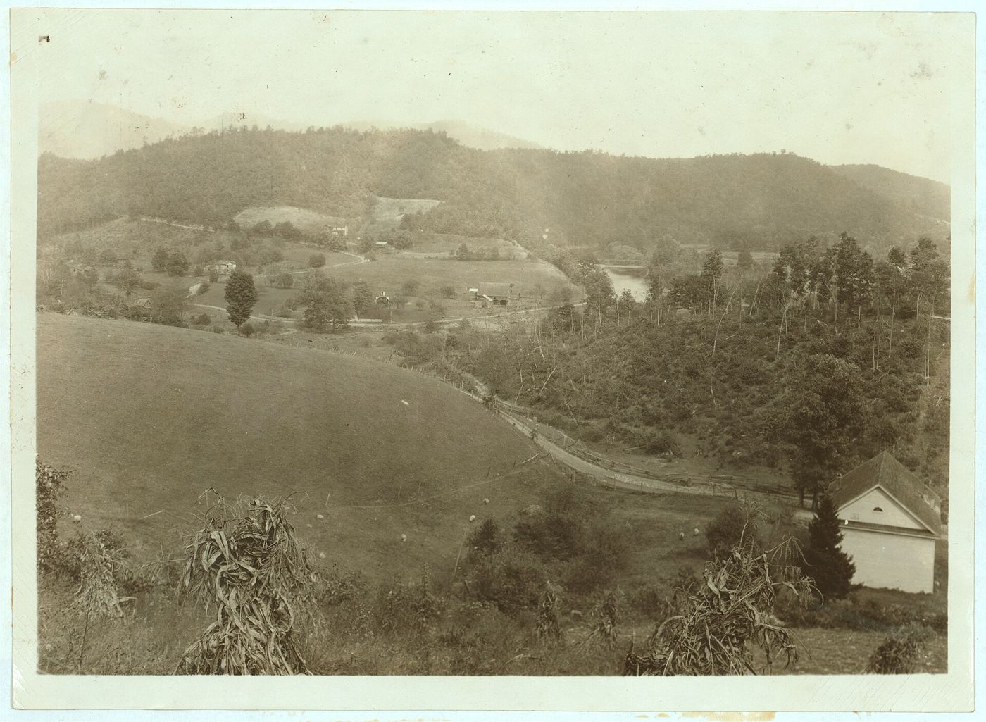
Snowshoe sits at the northern edge of Pocahontas County, which was established in 1821 and named for Pocahontas, the daughter of the Powhatan chief.1 The county is large and thinly settled. It has 940 square miles of land and counted 7,869 people in the 2020 Census, 8.4 per square mile.2 It is the third largest county in West Virginia by area, and at a mean elevation of 3,219 feet, the sixth highest county east of the Mississippi.1
The county seat is Marlinton. The two other incorporated towns are Durbin and Hillsboro.1
Much of the county is public land in the Monongahela National Forest, and most of it lies inside the National Radio Quiet Zone.34 Those two facts shape the place as much as its history does.
Marlinton
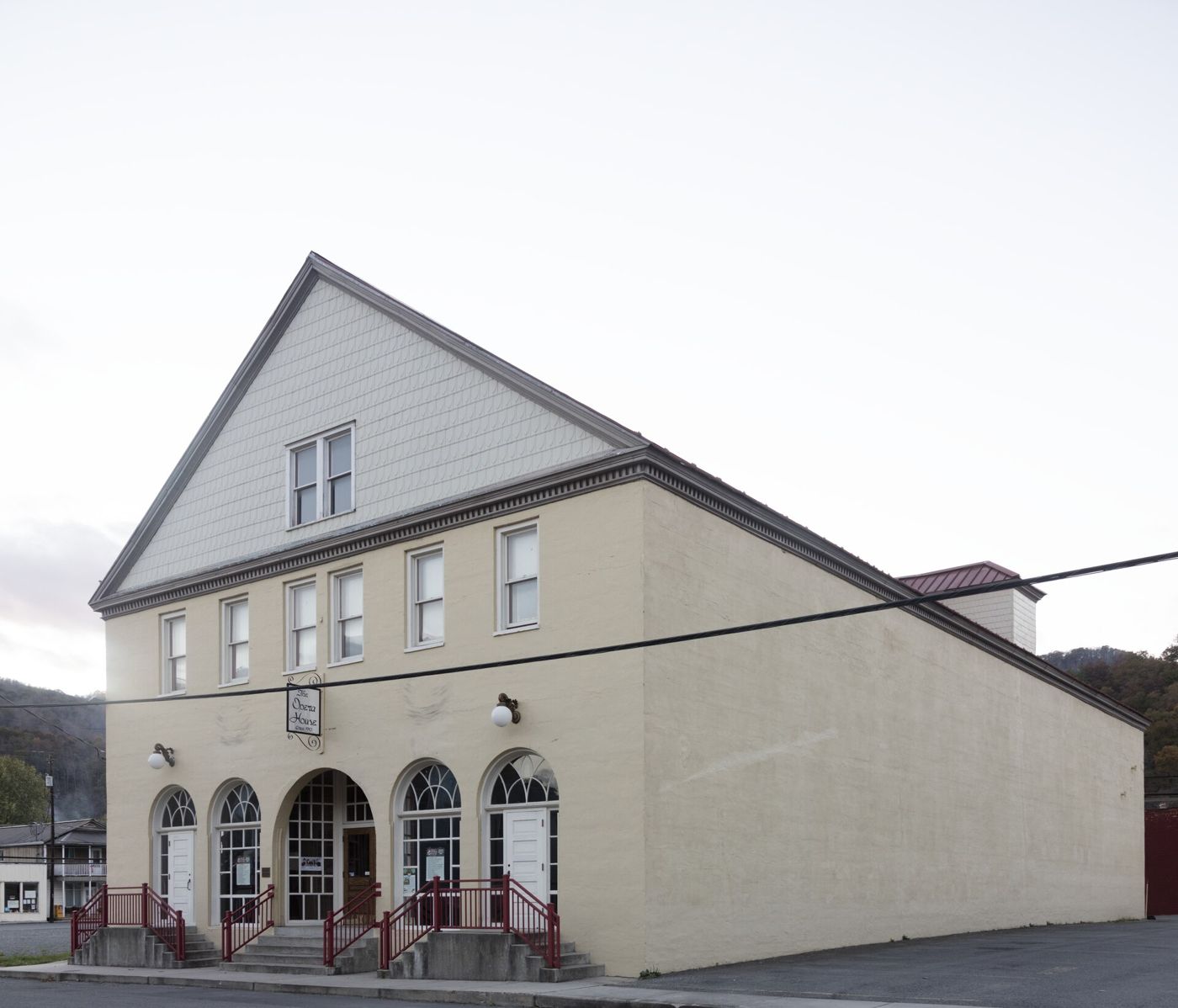
Marlinton is the county seat, on the Greenbrier River. It had 998 residents in 2020.5 The town is named for Jacob Marlin, who with Stephen Sewell was among the first settlers of European descent west of the Alleghenies, in the Greenbrier Valley in 1749. The two men built a cabin together, fell out over religion, and Sewell moved into a hollow sycamore nearby.5 Surveyor John Lewis found them in 1751.
The town has several buildings on the National Register of Historic Places, including the county courthouse and jail, the Marlinton Opera House, the C&O railroad station and the Pocahontas Times print shop.5 The Pocahontas County Historical Society runs its museum in Marlinton.6 The Greenbrier River Trail passes through town.
Hillsboro
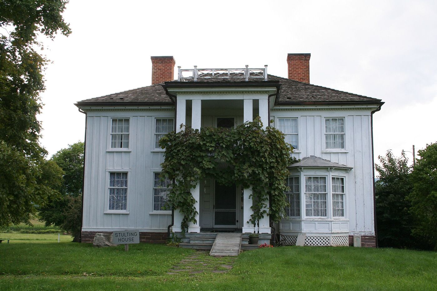

Hillsboro, in the south of the county, had 232 residents in 2020.7 It was named for pioneer John Richard Hill of North Carolina, and that most early settlers were Scots-Irish farmers and stock raisers. In the nineteenth century the town grew up around Little Levels Academy, founded in 1842 and closed at the start of the Civil War. The novelist Pearl S. Buck was born at Hillsboro, and her birthplace is preserved as a museum.78
Droop Mountain
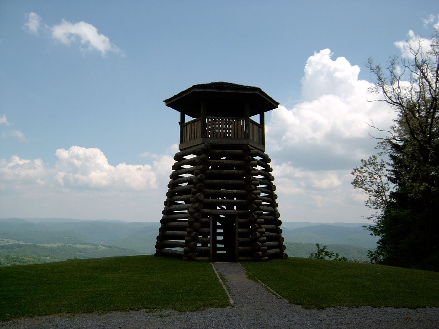

On November 6, 1863, Union Brig. Gen. William W. Averell defeated a smaller Confederate force under Brig. Gen. John Echols and Col. William L. "Mudwall" Jackson on Droop Mountain, south of Hillsboro.9 It was one of the largest engagements in West Virginia, and it ended organized Confederate resistance in the state, though some historians dispute that. The battlefield is a state park.10
Green Bank and the Quiet Zone
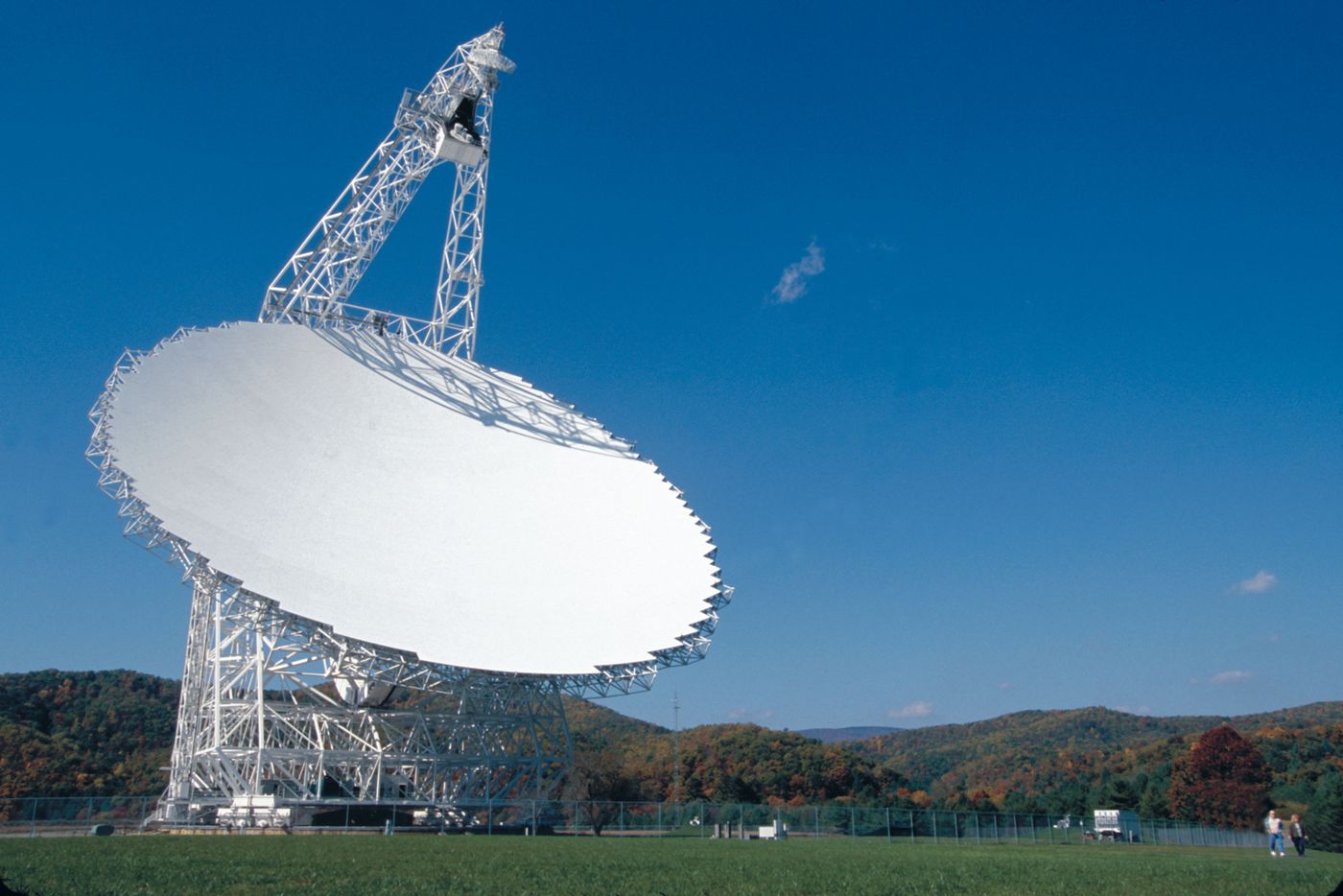

In 1956 the National Science Foundation established the National Radio Astronomy Observatory at Green Bank, and the first observations were made in 1958.11 The site is now the Green Bank Observatory, an independent institution operated by Associated Universities, Inc. Its largest instrument, the Robert C. Byrd Green Bank Telescope, is the world's largest fully steerable radio telescope.11 An earlier 300 foot telescope collapsed in November 1988.
To protect the telescopes, the Federal Communications Commission created the National Radio Quiet Zone in 1958.4 It covers about 13,000 square miles of Virginia, West Virginia and a corner of Maryland. Restrictions are strictest within ten miles of the Green Bank and Sugar Grove facilities, where most high-power and omnidirectional transmitters are prohibited. Emergency radios and CB are allowed.4
The result is a county where cell coverage is limited and broadband arrived late. The Snowshoe resort had a custom wireless system built so as not to interfere with the telescopes.5 Stephen Kurczy's book The Quiet Zone is about life in Green Bank; learn more on our Books page.
Cass
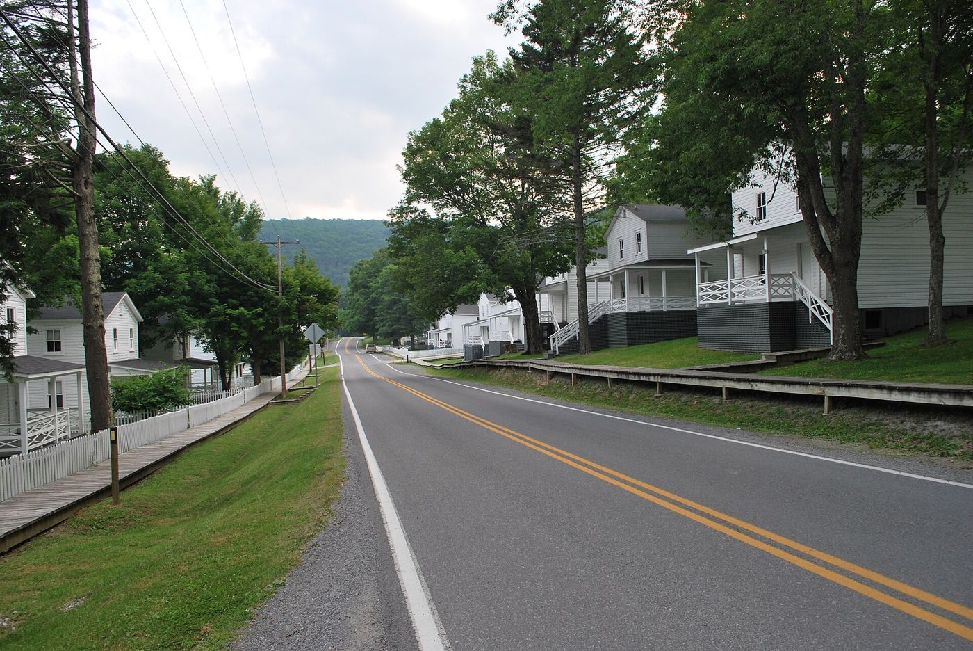

The company town of the West Virginia Pulp and Paper Company, founded 1901, now a state park with a heritage railroad that climbs to Bald Knob on Back Allegheny Mountain.1213 The full story is in our article on logging and railroads.
Watoga State Park
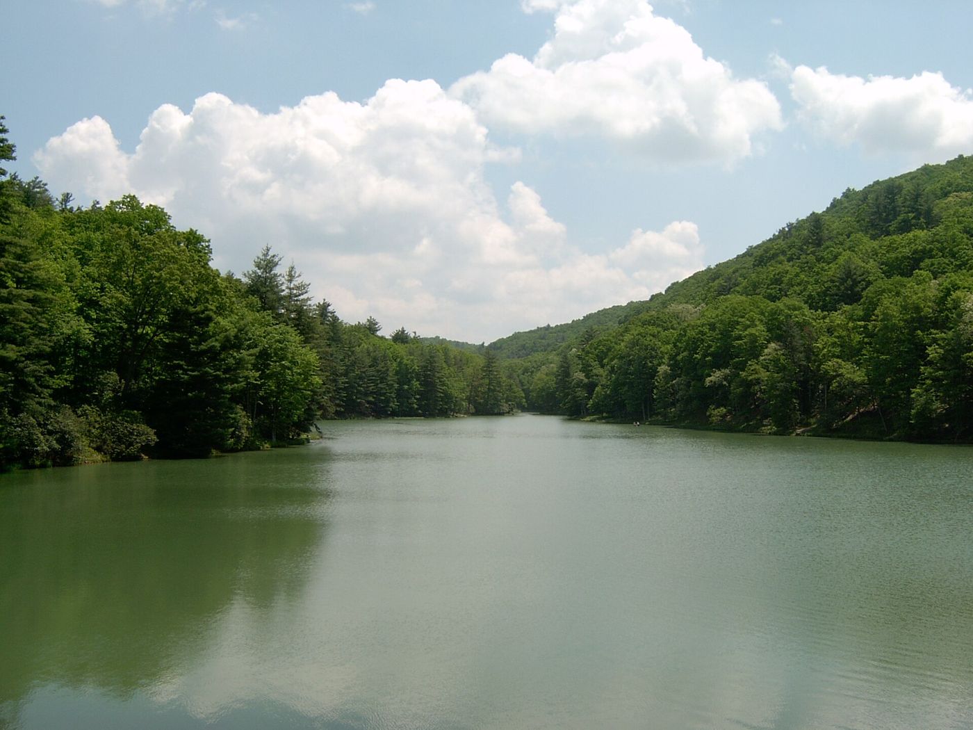

Watoga is the largest of West Virginia's state parks, at a little over 10,100 acres, near Seebert on the Greenbrier River.14 The state acquired the first land in January 1925 for a state forest and decided in May 1934 to make it a park instead. The Civilian Conservation Corps did much of the building, and the park opened on July 1, 1937. Its CCC-era structures form a National Register historic district, the New Deal Resources in Watoga State Park Historic District. The name comes from a Cherokee word for "starry waters."1415
Greenbrier River Trail
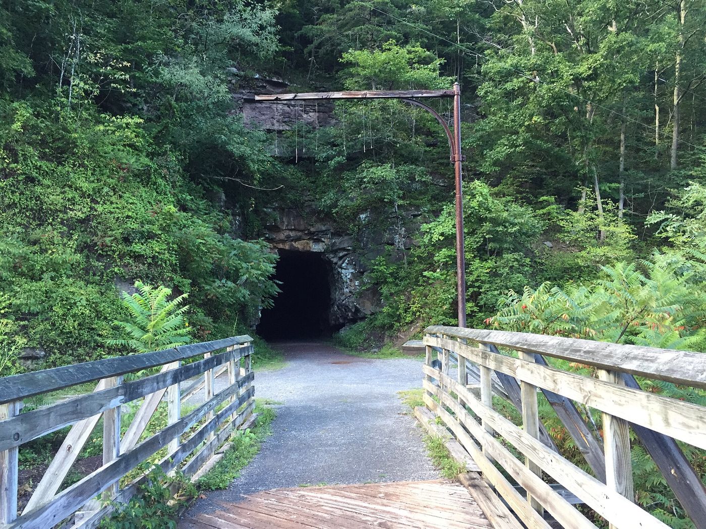

A 77.1 mile rail trail from North Caldwell to Cass, on the former Greenbrier Division of the Chesapeake and Ohio Railway, built in 1899 and 1900.16 The line carried timber, livestock and freight; passenger service ended January 8, 1958 and the line was abandoned December 29, 1978. The C&O gave the right of way to the state, and the trail opened in 1980. It has two tunnels, Droop Mountain Tunnel and Sharps Tunnel, and was named to the Rail Trail Hall of Fame in 2012.1617
Cranberry Glades
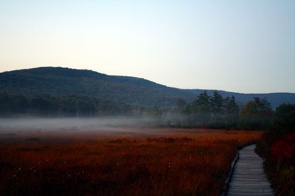

Five small bogs at about 3,400 feet in the southwest of the county, covering about 750 acres, with plants more usual in Canada: cranberries, sphagnum moss, and two carnivorous species, the purple pitcher plant and the sundew.18 The Glades are a Botanical Area of the Monongahela National Forest, with a boardwalk, and became a National Natural Landmark in 1974.19 They sit next to the Cranberry Wilderness, nearly 50,000 acres.
Where to learn more
- Pocahontas County Historical Society and museum, Marlinton.6
- Pocahontas County Convention and Visitors Bureau.20
- West Virginia Archives and History, county bibliography.21
- The Pocahontas Times, the county newspaper, a source for much of the history on this site.22
Seneca Caverns and Spruce Knob, often mentioned with this area, are in Pendleton County, not Pocahontas.
Sources
- Wikipedia, "Pocahontas County, West Virginia" (CC BY-SA)
- U.S. Census Bureau, QuickFacts: Pocahontas County, West Virginia
- USDA Forest Service, Monongahela National Forest
- Wikipedia, "National Radio Quiet Zone" (CC BY-SA)
- Wikipedia, "Marlinton, West Virginia" (CC BY-SA)
- Pocahontas County Historical Society
- Wikipedia, "Hillsboro, West Virginia" (CC BY-SA)
- Wikipedia, "Pearl S. Buck Birthplace" (CC BY-SA)
- Wikipedia, "Battle of Droop Mountain" (CC BY-SA)
- West Virginia State Parks, Droop Mountain Battlefield State Park
- Wikipedia, "Green Bank Observatory" (CC BY-SA)
- Wikipedia, "Cass Scenic Railroad State Park" (CC BY-SA)
- West Virginia State Parks, Cass Scenic Railroad State Park
- Wikipedia, "Watoga State Park" (CC BY-SA)
- West Virginia State Parks, Watoga State Park
- Wikipedia, "Greenbrier River Trail" (CC BY-SA)
- West Virginia State Parks, Greenbrier River Trail
- Wikipedia, "Cranberry Glades" (CC BY-SA)
- USDA Forest Service, Cranberry Glades Botanical Area
- Pocahontas County Convention and Visitors Bureau
- WV Archives and History, Pocahontas County bibliography
- Pocahontas Times, "Snowshoe Mountain Resort: From meager beginnings to a village in the sky"
Published 2026-10-29. Corrections: see About.