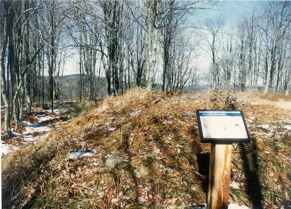
A history of Cheat Mountain and Pocahontas County
The Mountain Under the Ski Resort
Before Snowshoe there was a Union fort in the clouds, a paper company's railroad, and the largest red spruce forest south of Maine. This is its story, from the sources.
“A small brigade of raw troops ... found itself, greatly to its own surprise, at Cheat Mountain Pass, holding a road that ran from Nowhere to the southeast.”
Ambrose Bierce, “On a Mountain,” 1909
- 01
Geography, climate and economy
Cheat Mountain: The Basics
Where the mountain is, how high it gets, what grows on it, how much snow falls, and who lives in the county at its southern end. With a map, NOAA climate normals and county economic data.
- 02
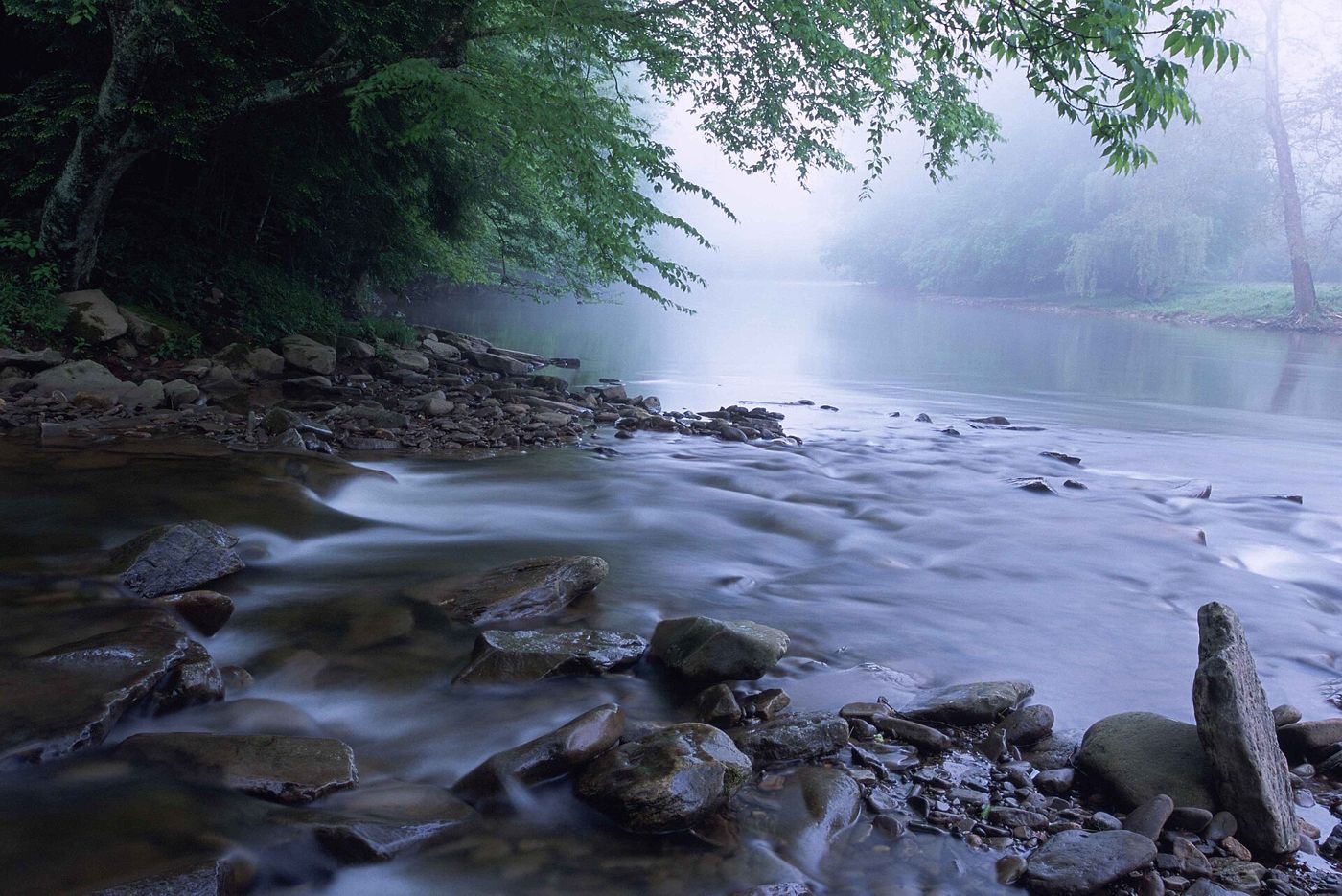
The name
Why "Cheat"?
Three stories explain the name of the river and the mountain. None of them has documents behind it. Here is what is actually on record, and what is repeated without it.
- 03
Civil War, September 1861
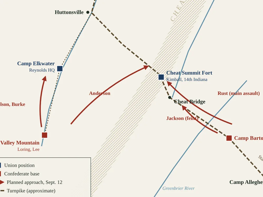
The Battle of Cheat Mountain
Robert E. Lee's first campaign in the field rested on five columns striking two Union camps at once, three of them converging on a mountaintop fort in the rain. The signal never came. This is how it unfolded, day by day.
- 04
Logging and railroads, 1899 to 1960
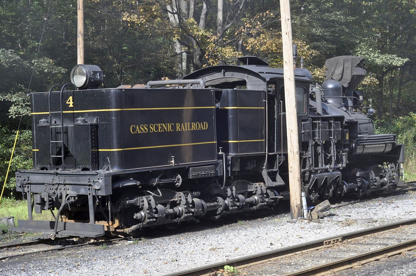
Spruce, Shays and the Company Town
For sixty years the mountain was a timber operation. A paper company built Cass, ran geared locomotives up grades that ordinary engines could not climb, and cut nearly every red spruce on the ridge.
- 05
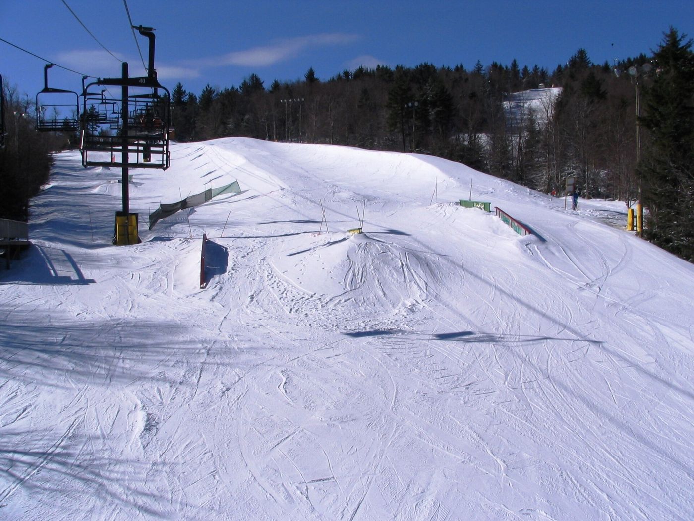
Snowshoe Mountain Resort, a business history
Fifty Years, Seven Owners
A dentist flew over a logged-out ridge in 1973 and saw a ski resort. What followed was bankruptcy, a sale to lenders, a Japanese developer, a Canadian village builder, a hedge fund and, since 2017, Alterra Mountain Company.
- 06
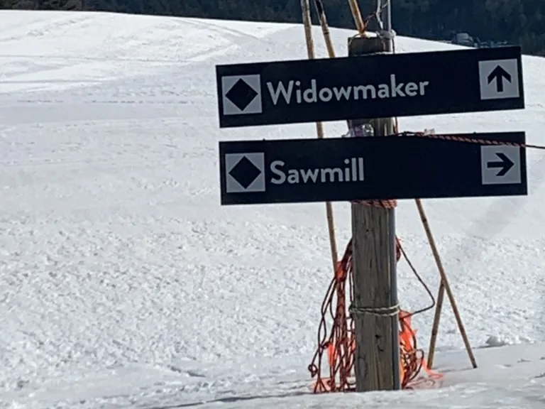
The slope names
Ballhooter, Widow Maker, Powder Monkey
Snowshoe's trail map is a glossary of the logging camps and railroads that worked this mountain for sixty years. Here is what the words meant in the woods.
- 07
Natural history
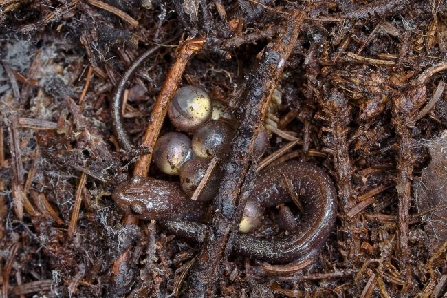
The Salamander That Lives Nowhere Else
Plethodon nettingi is about four inches long and is found only in the high country of eastern West Virginia. It was discovered on the same knob where the Union army built its fort.
- 08
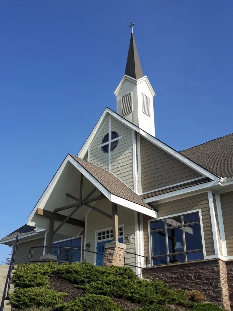
St. Bernard Chapel
A Country Church at 4,800 Feet
Built in 2005 by the resort's owners and two churches, designed as a "country church" in heavy timber, and described by its parish as arguably the highest church east of the Rockies.
- 09
The county
Around Pocahontas County
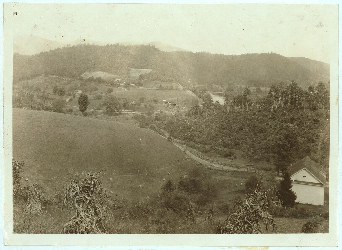
Nine hundred and forty square miles, fewer than eight thousand people, and a federal zone where radio is restricted.
- 10
Reading list
Books
A reader's recommendation of The Quiet Zone, and a working bibliography for Cheat Mountain and Pocahontas County.

Latest from the county
- Pritt Honored as WVPA Premier JournalistPocahontas Times · Oct 28, 2026
- Going once, going twice…Pocahontas Times · Oct 28, 2026
- Durbin Lions celebrate 80 yearsPocahontas Times · Oct 28, 2026
- BOE reviews balanced scorecard resultsPocahontas Times · Oct 28, 2026
- Floyd Davis Jr.Pocahontas Times · Oct 28, 2026
About
CheatMountain.com is a local history resource, a project of VisitSnowshoe. Articles are original, sourced and footnoted. Our standards.